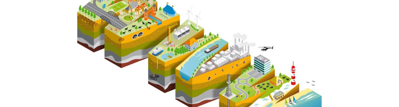
The World Wide Web is a great platform for sharing digital information. We want to use this power of the web to make spatial information more accessible. But what’s the best way of doing this? To find out, Geonovum has initiated a testbed in October 2015. This testbed is the topic of a public meeting on the 17th of March 2016.
Between November 2015 and March 2016 three questions have been researched within the testbed. The company Spotzi has dealt with creating a usable platform for publishing spatial data on the web. Apiwise has researched the question of publishing spatial data on the web in a way that is accessible for both search engines and web developers. And a consortium of Interactive Instruments, GeoCat and Linked Data Factory has concentrated on getting spatial data on the web based on the existing spatial data infrastructure.
The testbed participants will present their findings and solutions on March 17. The first steps towards a modern, web friendly publication of spatial data can then be taken. Things are going to change!
On March 17, we also present the continuation of the testbed. We will unveil one more research question and our strategy for implementing the new insights in both the spatial and the web communities.
Want to join? Sign up here